Start with the kind of day you want
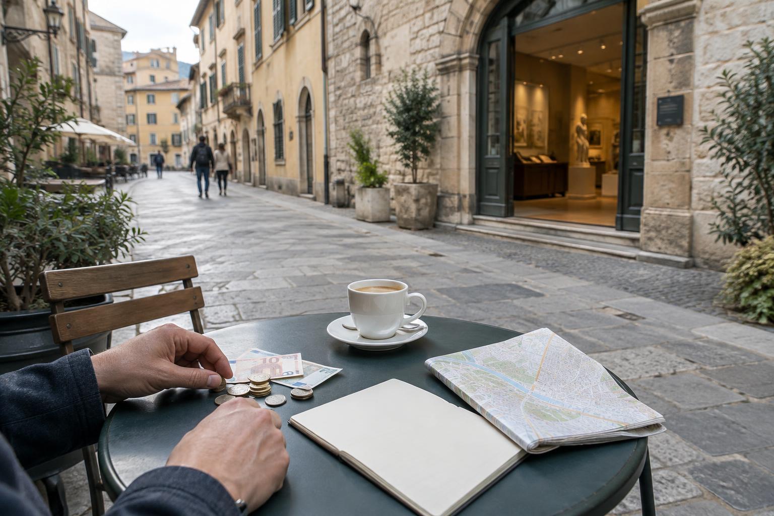
Navigation is more than a way to reach a destination. It shapes what you notice along the way. Turn-by-turn directions can help you arrive on time, but they can also keep your attention on the next instruction. A paper map invites you to look at the area around your route. Wandering gives a street, a storefront, or an unexpected public square room to change your plans.
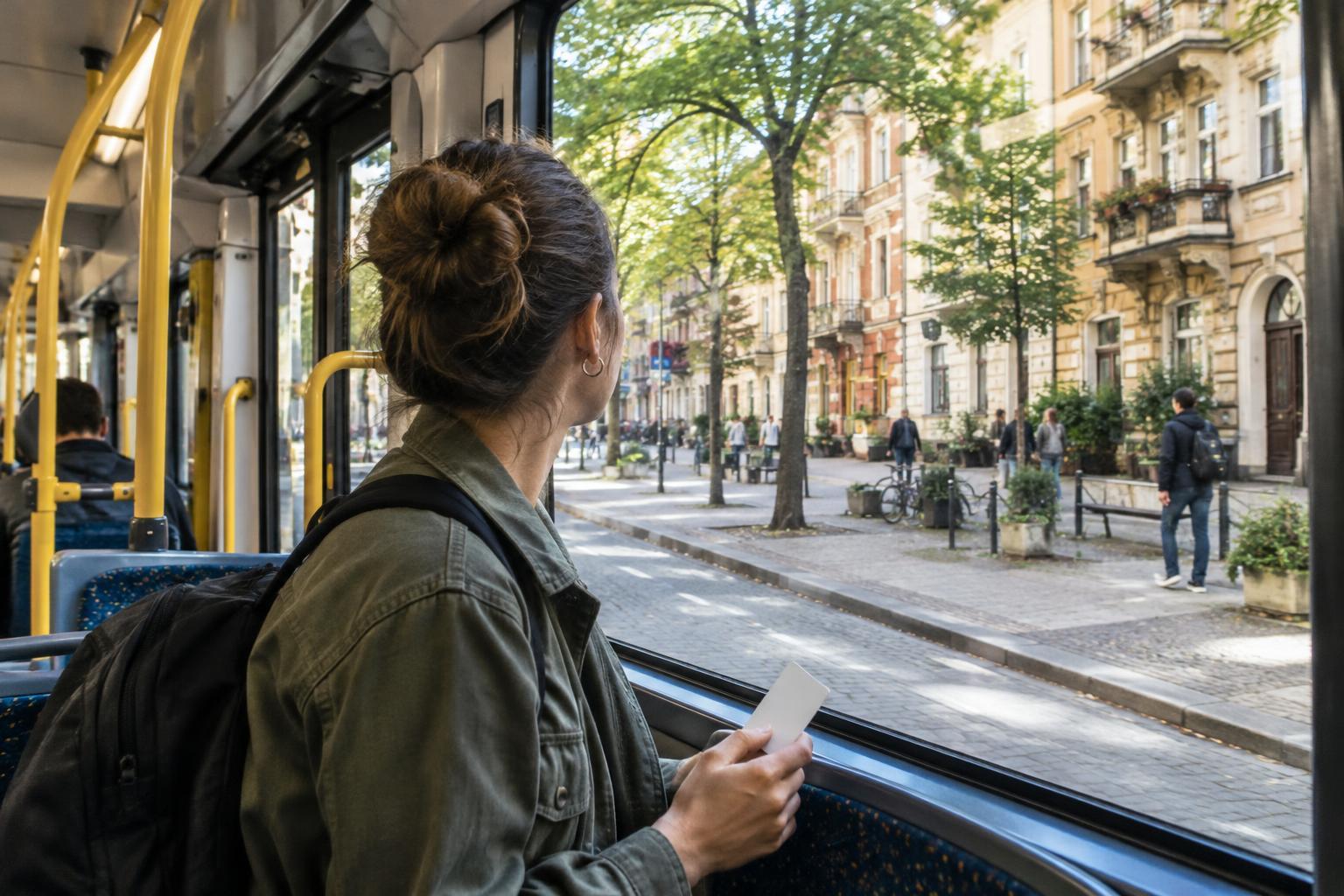
Before setting out, decide what must happen and what can remain open. A timed museum entry calls for a dependable route. An afternoon with no appointment leaves more space for detours. You do not have to commit to one method for the whole day: the most useful navigation style is often a combination that changes with your schedule, energy, and surroundings.
Use an offline map as a quiet safety net
A downloaded map is useful when mobile service is unreliable, data access is limited, or you would rather not search for a signal at every intersection. Before you leave a connection, check that the area you need is saved and that you can open it without service. Pin a few anchors, such as your lodging, a transit stop, and the place you need to reach by a particular time.
Offline maps have limits. A saved route may not reflect a temporary closure, a changed transit service, or an entrance that is hard to spot. Battery life matters, too. Treat the map as a reference rather than a command: pause somewhere out of the flow of foot traffic, check the surrounding street names, and look up before moving on. If a route seems to lead through a private passage or an uncomfortable crossing, choose another way.
Let a paper map show the bigger picture
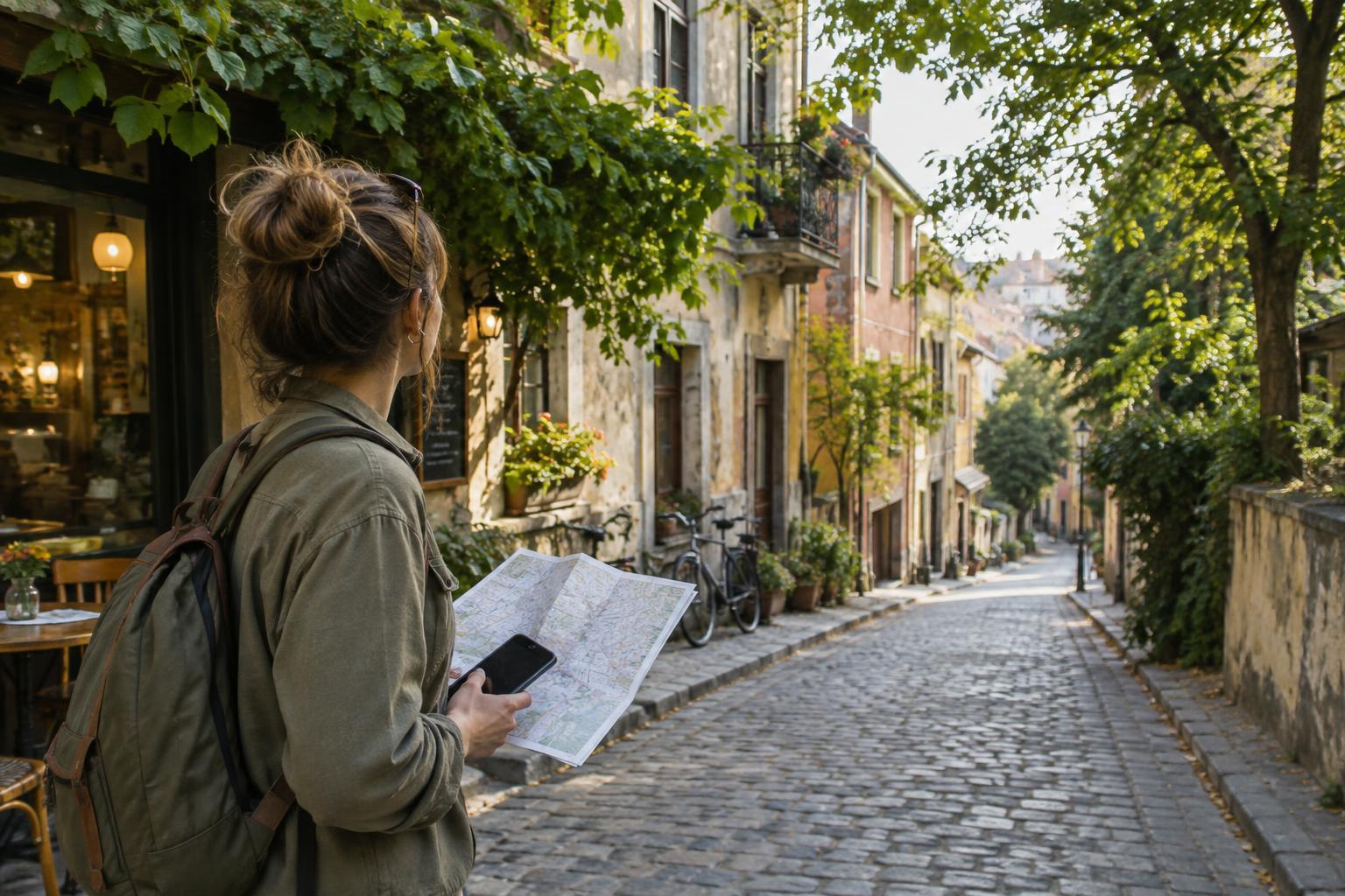
Paper maps can make a neighborhood easier to understand as a whole. You can see how a river, railway, hill, or major road divides nearby streets without repeatedly zooming in and out. A visitor map, transit diagram, or simple printed outline can also help you choose a loose loop rather than a list of isolated stops. The goal is not perfect precision; it is a sense of how places connect.
Check what the map actually depicts. A transit diagram may simplify distances, while a visitor map may leave out residential streets. Printed information can also become outdated. Mark a starting point and one or two return options, then fold the map so it is easy to consult. If you are traveling with someone, sharing a paper map can make route choices a conversation instead of a series of instructions from one person’s phone.
Wander with boundaries, not a script
Unplanned walking works best when you set a few gentle limits. Choose a neighborhood-sized area, a time to turn back, and a recognizable edge such as a main road or waterfront. From there, follow what interests you: a change in building materials, a row of workshops, a small garden, or a side street that appears to connect two busier routes. If you want to remember a place, note its name or nearby intersection rather than relying on memory alone.
Curiosity does not make every space an invitation. Keep to public routes, respect signs and residents’ privacy, and avoid blocking entrances while studying a map or taking a photograph. In quieter areas, notice whether a street is primarily someone’s home rather than a visitor attraction. Wandering can be attentive without turning everyday life into a spectacle.
Switch methods when the walk asks you to
Try beginning with an offline map to reach the general area, using a paper map to choose a direction, and putting both away for a short stretch. At a natural stopping point, check where you are and decide whether to continue or head toward an anchor. This gives you the freedom to follow an interesting street without the pressure of staying lost for its own sake.
Change course when conditions change. Fatigue, fading light, difficult crossings, or a departure time are good reasons to use direct directions again. So is simply wanting to know where you are. The point is not to prove that you can travel without a screen. It is to give each tool a job, leaving enough attention for the details you came to discover.