Start with a question, not a vanished street
An old map can make a familiar neighborhood look strange. A road seems to end in the middle of a block, a square has a different name, or a stream appears where buildings stand today. Those differences invite a walk, but they do not always prove that a place disappeared. Maps are selective pictures made for particular purposes. A street plan, a transit map and a property map may show the same area in markedly different ways.
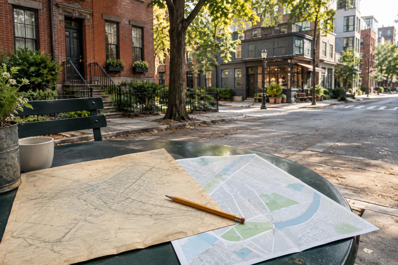
Choose a small area and one question to guide your comparison. You might ask how people crossed a railway, where a shopping street began, or whether a patch of open ground became a park. A few blocks are easier to study than an entire district. Note what each map says about its date, scale, boundaries and purpose before looking for changes. If a date or label is unclear, leave that uncertainty in your notes rather than guessing.
Give both maps the same frame
Find two or three features likely to be recognizable on both maps, such as a major intersection, a river bend or a long-standing public building. Use them as anchors while you compare the surrounding streets. North arrows and scales matter: a narrow lane can appear wider than it was, and a slight mismatch in orientation can make a whole block seem to have shifted.
Look for patterns rather than isolated lines. Did several short streets become one larger block? Does a present-day road follow the edge of an older field or waterway? Are buildings shown individually on one map but only as shaded areas on the other? That last difference may reflect mapping style, not construction or demolition. Write down apparent changes as questions: “Was this passage closed?” is a better starting point than “This passage was closed.”
Street names deserve similar caution. A renamed road may be easy to follow if its route stays the same, while a familiar name may have moved or come to describe a longer stretch. Trace the route first, then compare labels. This helps separate a change in language from a change in the physical neighborhood.
Check the map against the street
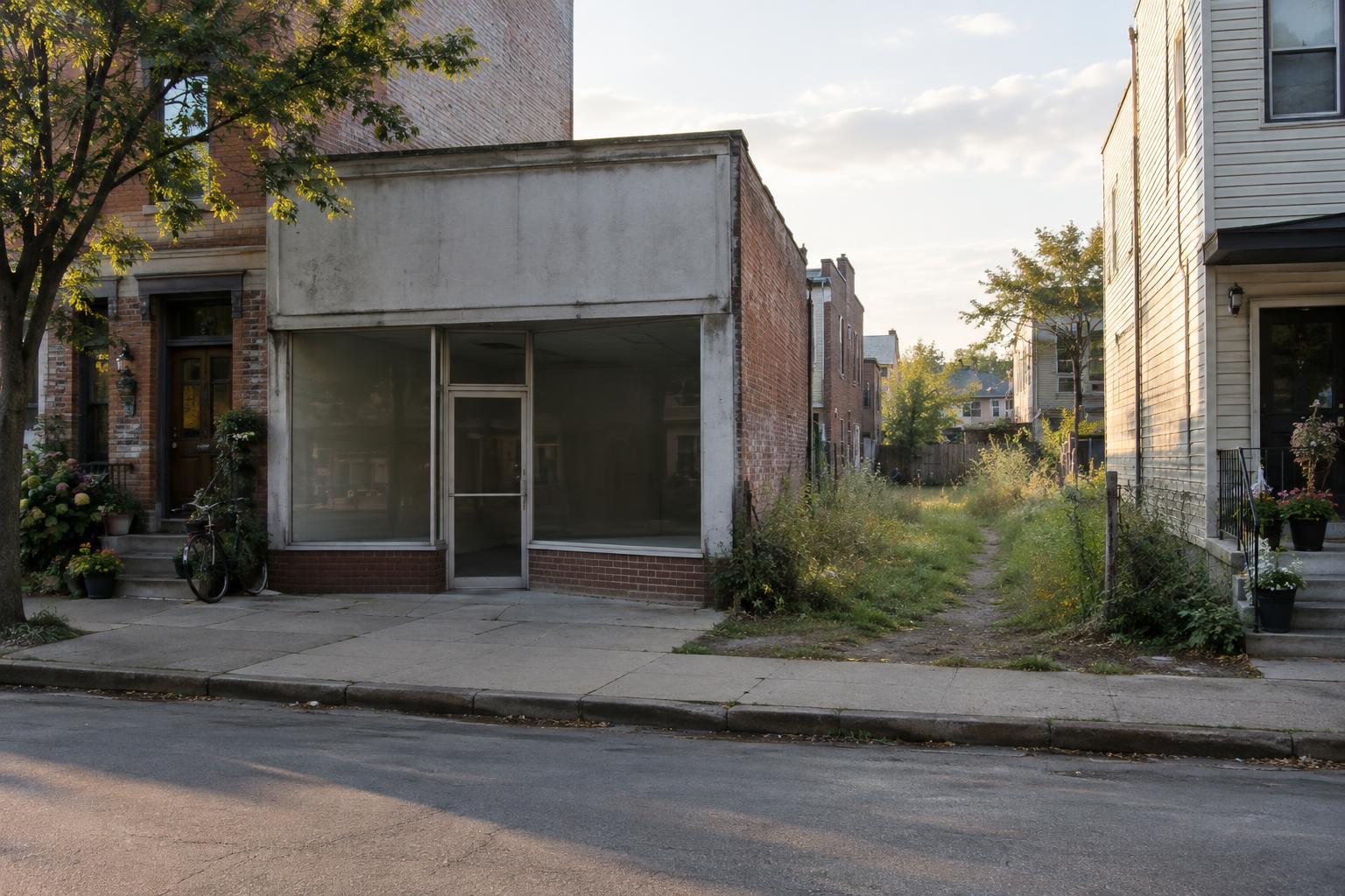
A walk can test what a map suggests, provided the area is accessible and you keep to public routes. Look for clues at ordinary scale: an unusually wide sidewalk, buildings facing a space that is no longer open, a row of plots with different shapes from those beside it, or a footpath that continues the line of an older street. None is proof on its own. Each is a reason to look more closely.
Carry a current map as well as a copy or notes from the older one. At each stop, orient yourself using the same anchors you chose at home. Take a photograph of the wider setting before focusing on a detail; context will make your notes easier to understand later. If a mapped feature is now behind a fence or inside a residential courtyard, observe it from a permitted vantage point rather than trying to reach the exact spot.
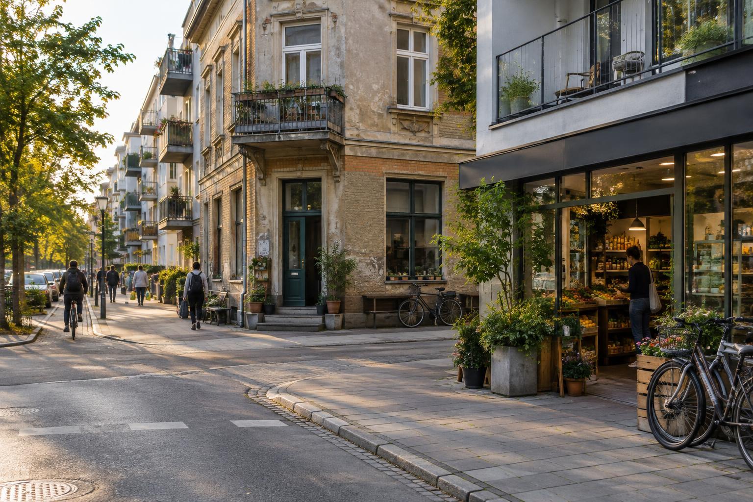
Pay attention to what still works, not only to what has gone. A corner shop may occupy a newer building on a long-established route. A bus stop may keep a crossing useful even after the reason it was first built has changed. Current maps are useful for planning a walk, but everyday movement can explain why an older line remains legible.
Look for the stories maps cannot draw
Maps tend to make change look tidy: one line replaces another, one name appears where another used to be. Neighborhood life is less tidy. A space marked as empty may have been used for play, gathering or informal trade. A building that retains its outline may have held many different activities. To understand a possible change, look for publicly available photographs, local-history displays, planning records or small museum collections that can add context. Treat each as another partial view, not a final verdict.
Be careful with conclusions about why change happened. A map may show that a row of buildings no longer appears; it rarely explains the decisions, pressures or personal experiences behind that difference. If you speak with residents or workers, ask open questions and respect their choice not to discuss the area. Avoid treating people as sources of colorful detail for a story you have already decided to tell.
Make a modest record of what you found
Finish with a short set of observations: what each map shows, what you saw on the ground, and what remains uncertain. Keep labels such as “possible former path” until you have stronger evidence. If you share photographs or a walking route, consider whether they expose private entrances or invite visitors into spaces not meant for public access.
The most rewarding result may be a better question rather than a dramatic discovery. Comparing maps can reveal how a neighborhood accommodates new routes while preserving old habits of movement. It also teaches you to notice the quiet details between landmarks: the bend in a wall, the shape of a block, or a name that outlasted the feature it once described.