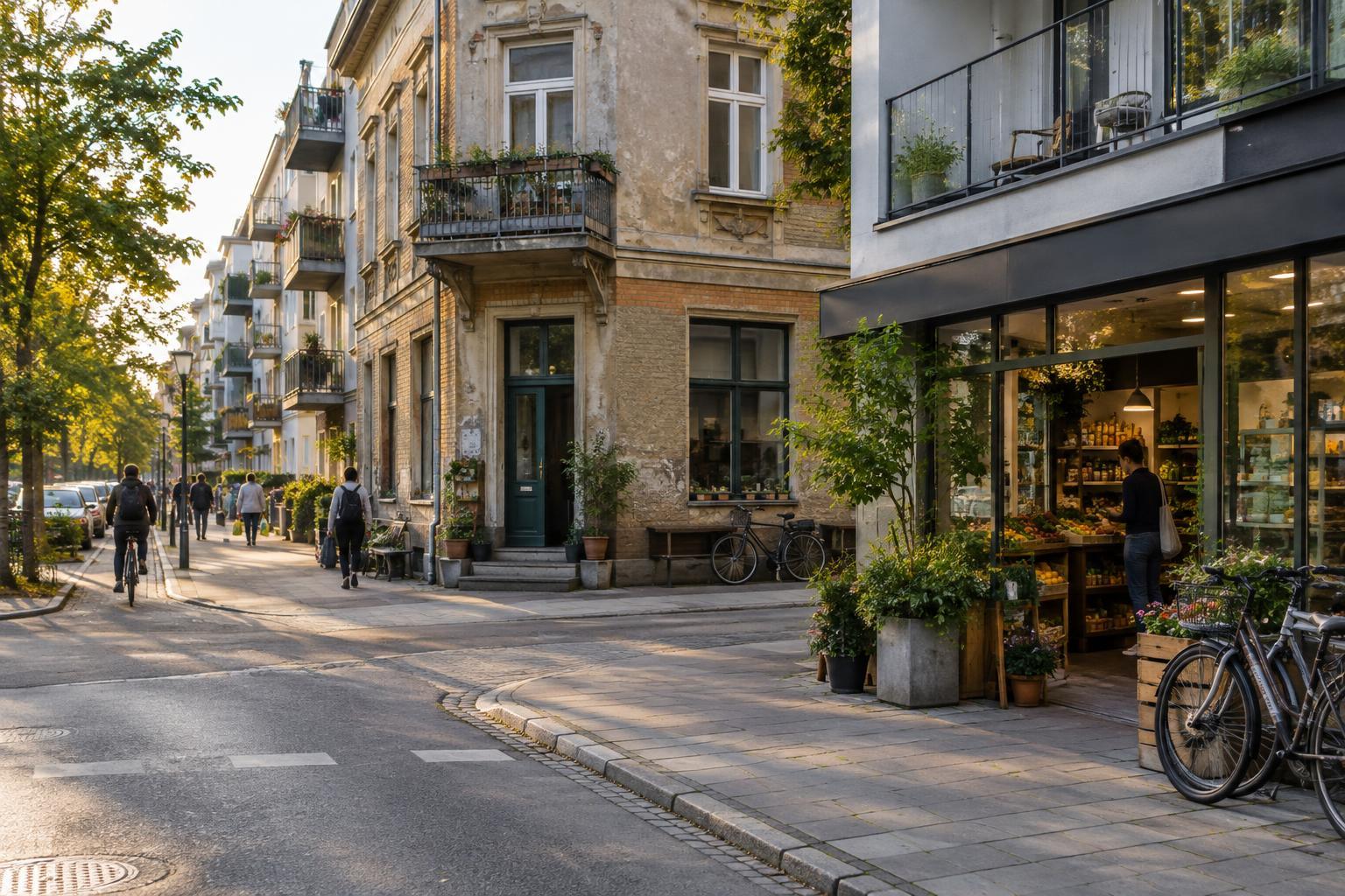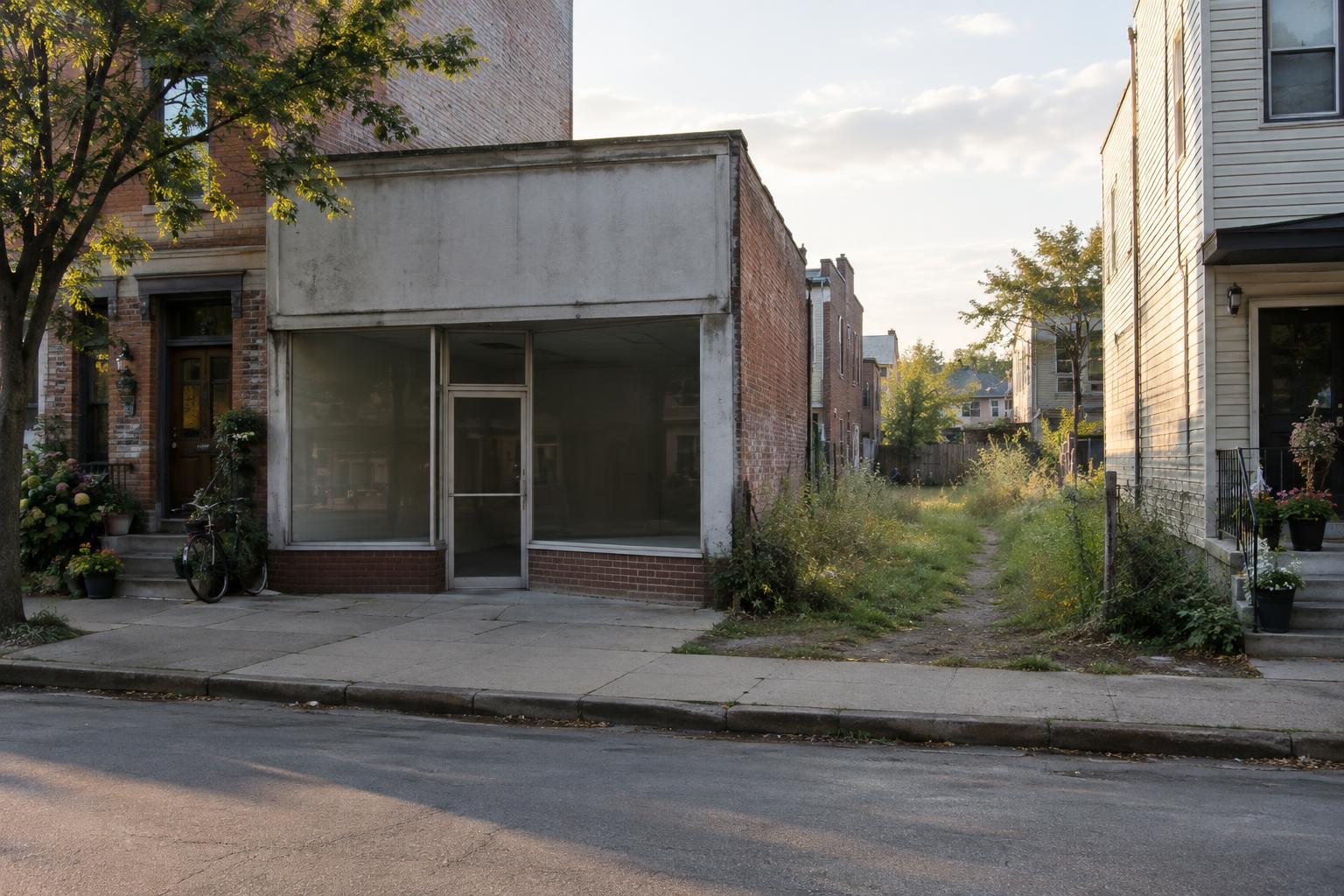
Two ways a neighborhood takes shape
Some neighborhoods begin with a coordinated plan: streets, blocks, open spaces and building sites are laid out as parts of a larger scheme. Others take shape through many smaller decisions, as buildings are added, plots divided and routes adapted to changing needs. Most places fall somewhere between these descriptions. A planned district can change substantially after its first residents arrive, while an older district may contain carefully planned streets or squares.
The distinction is useful for curious travelers because it offers a way to ask questions, not a verdict on quality. A regular street grid does not tell you whether a place is welcoming, and a winding lane is not proof of a long or untouched history. Look instead for how the original layout, later alterations and everyday use meet on the ground.
Start with the streets
In a planned neighborhood, streets may repeat at predictable intervals, lead toward a central square or follow a consistent width. A district that developed incrementally may have routes that bend around earlier buildings, meet at unusual angles or change character within a short walk. These are tendencies rather than rules: hills, property boundaries and later road projects can complicate either pattern.
Try walking one main route and then turning onto a smaller street. Notice where it becomes easy or difficult to cross, where a view opens up and where a shortcut seems to have been preserved. A broad avenue might connect landmarks while leaving quieter blocks behind it. A narrow passage might be a useful local route rather than a picturesque detour. Paying attention to movement helps you see a neighborhood as a working place.
Look for the rhythm of buildings
A coordinated development often gives its buildings a shared rhythm: similar setbacks, rooflines, materials or entrances. Even when individual buildings differ, their plots may follow a repeated pattern. In a district built bit by bit, changes in height, frontage and doorway placement may be more frequent. A small shop can sit beside a wider building, or a newer facade may conceal an older plot shape.
Neither appearance tells the whole story. Uniform buildings can contain varied homes and businesses; a visually mixed street can be tightly regulated. Look closely at additions, repaired surfaces, converted ground floors and spaces between buildings. These details show how people have adapted a neighborhood after its initial construction. If you want to know more, a local museum or publicly available neighborhood history may help you test what you thought you saw.
Compare public space with everyday use
Planned neighborhoods may set aside parks, courtyards or squares from the outset. Incrementally grown districts may have smaller shared spaces formed at intersections, along a waterfront or beside buildings that serve the community. But a designated plaza is not automatically lively, and an improvised-looking corner is not necessarily open to visitors. How a space works depends partly on its entrances, shade, seating, surrounding uses and upkeep.
Pause at the edge rather than treating every space as a photo opportunity. Who can enter comfortably? Does the layout invite people to stay, or mainly help them pass through? Watch for ordinary features such as benches, bicycle parking and shopfronts. They can say more about daily life than a neighborhood’s most prominent landmark. Respect signs, private entrances and people’s privacy as you explore.
Avoid the authenticity trap
It is tempting to call an irregular district “organic” and a planned one “artificial.” Those labels overlook the people who live and work in both. A master plan cannot determine every future use, and gradual growth is still shaped by rules, investment and deliberate choices. The most interesting comparison is often how each place handles change: where new uses fit easily, where older features remain useful and where the street layout creates constraints.
For a practical walk, choose two nearby areas and give each the same attention. Trace a route, examine one ordinary block and spend a few minutes in a shared space. Record questions rather than quick judgments: Why does this street narrow? Was that courtyard part of the original layout? What might this storefront have been before? Comparing places this way makes room for their differences without reducing either neighborhood to a type.