A line on a map is a journey on the ground
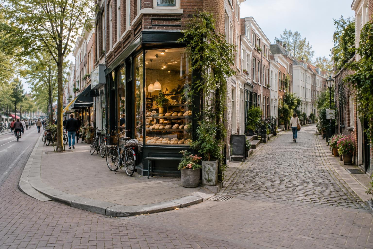
Maps make rivers, rail corridors, and highways easy to recognize. Their effect on a neighborhood is harder to see until you try to cross one. A shop may be only a short distance away in a straight line but require a long walk to reach a bridge or underpass. Two streets may appear to face each other yet end at fences or embankments. These small changes in a route can influence which places feel close, even when they are geographically near.
That does not mean every dividing line separates a community. A bridge can become a familiar meeting point; a station can draw people from several neighborhoods. The useful question is not simply what lies on either side, but how people move between them. Look for the crossings that feel like natural extensions of the street, as well as those that seem to demand a detour.
Rivers create edges and shared spaces
A river can give nearby streets a clear orientation. Buildings may face the water, turn their backs to it, or sit above it behind a flood wall. Paths along a bank can connect parks and public spaces, while bridges bring routes together at particular points. If crossings are widely spaced, each bridge may matter to everyday trips. If they are frequent and comfortable to use, the water may feel less like a boundary.
Walking toward a bridge, notice how the approach changes. Does a broad road carry you across, or does a smaller path lead from a residential street? Are there places to pause on both banks? The river itself may be the most visible feature, but the connections to it often tell you more about neighborhood life. A waterfront path is less useful as a link if reaching it requires a difficult crossing.
Rail lines make some connections visible and others indirect
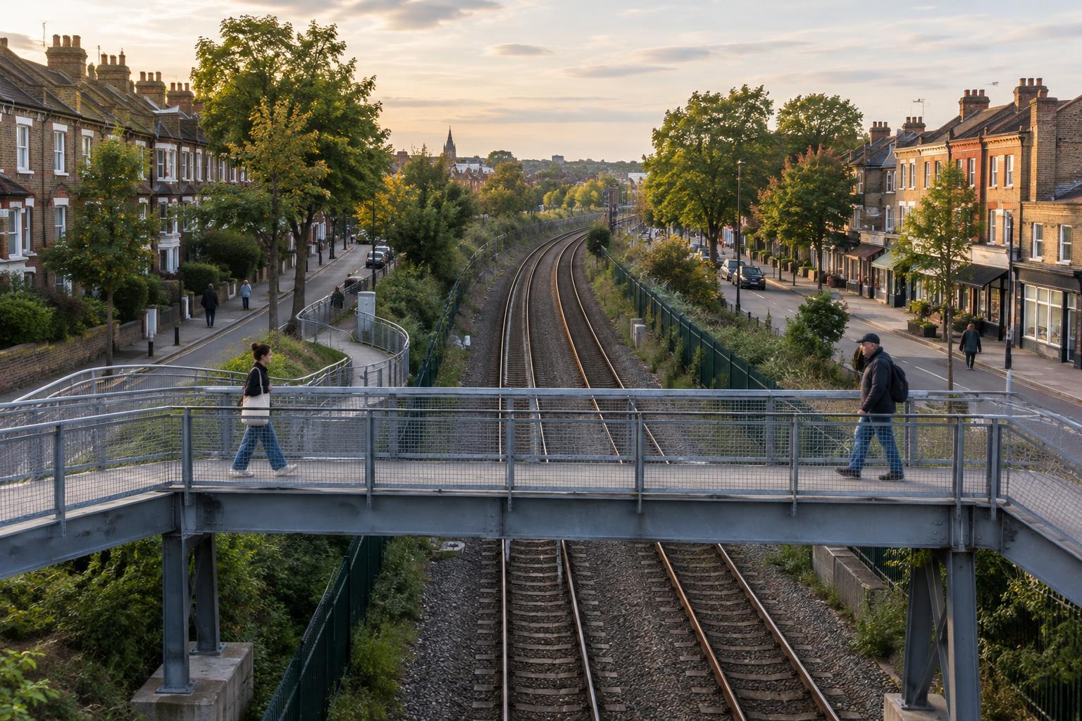
Rail infrastructure often leaves a distinctive pattern of long edges and concentrated crossings. A station entrance, pedestrian bridge, or underpass can be an important link, while blocks nearby may have few ways through. Older streets sometimes stop at the tracks; elsewhere, a crossing carries the same street onward. None of these details tells a complete history by itself, but each is a clue to how a neighborhood is laid out.
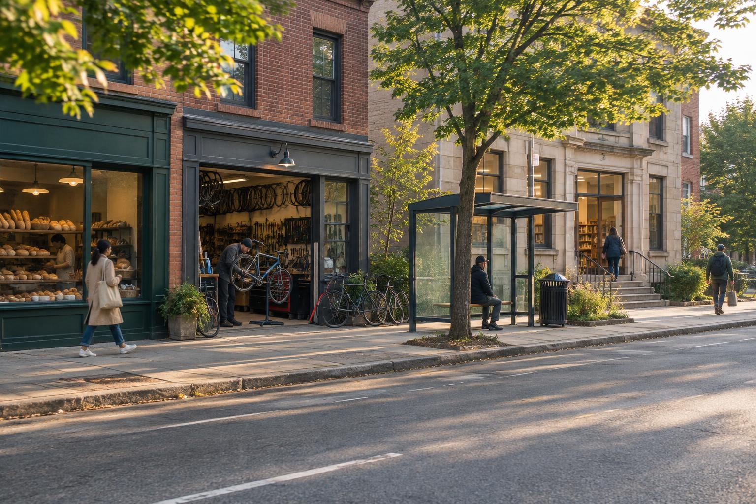
Stations are especially worth observing from outside. One side may open onto a busy square, while another entrance leads to quieter streets. A short walk around the station can reveal how routes converge, where bicycles are parked, and whether walking directions are clear. Stay in public areas and use designated crossings: tracks and service corridors are not shortcuts. The aim is to understand the connections people can actually use, not just the ones a map seems to promise.
Highways change the scale of a walk
Highways can interrupt a local street pattern even when they offer a quick route through the wider area. From a pedestrian’s perspective, the important features are often the ramps, crossings, and spaces beneath elevated sections. A nearby overpass may have a sidewalk but still feel unpleasant because of traffic, noise, or a long approach. Another crossing may be modest yet provide a direct link to homes, shops, or transit.
Look at what happens just beyond the highway, too. Do streets resume where they left off, or does the route arrive at a parking lot or a road with no easy crossing? Are public spaces beneath an elevated roadway used as paths or gathering places, or do they function mainly as gaps between destinations? Conditions can vary from block to block, so it is better to describe what you see than to treat the highway as the whole story.
Explore connections without treating neighborhoods as exhibits
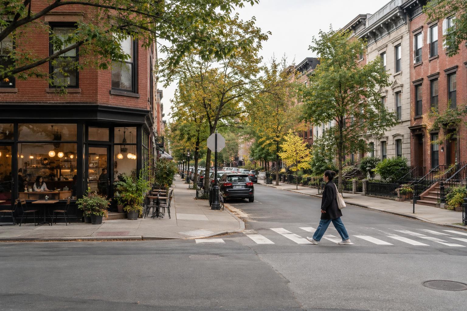
For a focused walk, choose one public crossing and compare the routes leading to it from both sides. Notice street widths, entrances, signs, seating, and places where you must wait or turn. Then check whether another crossing nearby offers a different experience. This simple route can reveal more than trying to cover an entire neighborhood at once. If a path feels unsafe or inaccessible, turn back rather than forcing a circuit.
Remember that the streets you are studying are part of other people’s daily lives. Keep to public routes, give way where paths are narrow, and avoid photographing residents as though they are features of the landscape. A river, rail line, or highway may shape a neighborhood’s connections, but it does not define the people who live there. The most rewarding observation is often a practical one: where, and how, a place makes it easy to meet the other side.