Start with the routes, not the school building
A school often sits at the center of a neighborhood’s daily movements, even when its building is easy to miss. Look at the streets leading toward it. Do several short blocks meet nearby, giving people a choice of routes? Or does one wide road carry nearly everyone past the entrance? The answer can suggest whether the surrounding area was laid out for walking, driving or a mix of both. It is a clue, not a verdict: a neighborhood’s routes may have changed long after the school was built.
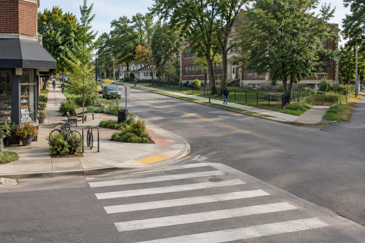
The edge of a school zone is especially revealing. A painted crossing may line up neatly with a residential street, or it may sit some distance from the route a person would naturally take. Sidewalks might continue across intersections, narrow beside parking lots or end before reaching the next block. These small transitions show where a connected street pattern becomes less convenient on foot.
Read the street’s competing uses
School streets have to accommodate activities that do not always fit comfortably together: walking, cycling, buses, deliveries and car drop-offs. You can often see those demands in the layout. A broad curbside lane may provide room for stopping but also make the road feel wider to cross. A crossing island can break a long crossing into two shorter ones. A fence may guide people toward a particular gate while requiring others to take a longer route around the block.
Notice which side of the street has an entrance and how it relates to nearby homes. A gate facing a grid of small streets can connect directly to the neighborhood. An entrance facing a large parking area or arterial road may create a different arrival pattern. Neither detail tells the whole story on its own. Looking at the approach from several directions gives a better sense of who has a straightforward route and who must make a detour.
Follow the everyday landmarks
The streets around a school may also reveal where neighborhood life gathers. A library branch, corner shop, playground, community garden or transit stop can turn a school trip into part of a longer chain of errands. Benches and sheltered places suggest spots where people can pause; blank walls and long stretches without crossings suggest places people may simply move through. These ordinary features can tell you as much about the area’s practical layout as a prominent landmark does.
Pay attention to the scale of nearby buildings. Rows of front doors close to the sidewalk create a different street experience from deep setbacks or continuous walls. Older blocks and newer developments may meet at the school-zone boundary, leaving changes in pavement width, tree cover or street alignment. Rather than treating those contrasts as proof of a particular history, use them as prompts for closer observation.
Look for the connections that are missing
A map may show a school only a few blocks from a park, yet the walk between them could require crossing a busy road or going around a fenced property. A short distance on paper is not always a short or comfortable journey. Tracing a route along public sidewalks can reveal barriers that are hard to spot when looking only at destinations.
There are quieter clues, too. Does a path continue past the school into another residential block, or stop at a dead end? Is a bus stop near a crossing, or separated from it by a long stretch of curb? Can someone approach without encountering steps? Such questions help make sense of how the neighborhood works for people with different ways of moving. They are more useful than assuming one route serves everyone equally well.
Observe respectfully
A school zone is a place of daily routine, not an attraction. If you are exploring an unfamiliar neighborhood, walk on public routes, follow posted signs and avoid blocking gates or crossings. Do not photograph children or try to document individual families’ movements. If a place is busy, returning at a quieter time can make the street layout easier to see without intruding on anyone’s day.
The most useful question to carry away is simple: what does this zone make easy, and what does it make difficult? Its sidewalks, crossings, gates and nearby destinations can offer a compact introduction to the wider neighborhood. Follow those clues outward, and a school zone becomes a starting point for noticing the design of everyday journeys.