The line on the map is a useful starting point
Ask where a neighborhood begins, and a map may offer a crisp answer: a road, a river, a railway line or the edge of a shaded area. That precision is useful when you need to find a service, follow a walking route or understand a planning document. But it can make a neighborhood look more settled than it feels on the ground.
Even “official” boundaries can serve different purposes. A city might divide space into administrative districts, statistical areas, planning zones and historic conservation areas, each with its own edges. None necessarily captures every place that residents mean when they use a neighborhood name. Before relying on a boundary, ask what the map was made to show. A line drawn for counting households is not automatically a guide to local identity.
Local names carry more than one meaning
In conversation, a neighborhood name may refer to the blocks around a market, the area served by a school or a stretch of streets people recognize as having a shared history. Someone may use a name learned from family, while a newer resident uses the label on a transit map. Both may be describing real experiences, even when their mental maps do not match.
Names can also change in reach without disappearing. A name associated with a small cluster of streets may spread across a larger area in property listings or visitor guides. An older name might remain familiar to long-term residents but be absent from newer maps. Rather than deciding immediately which label is correct, notice who uses each one and in what context. A sign above a shop, a community noticeboard and a bus stop may each tell a slightly different story.
Look for the seams, not just the center
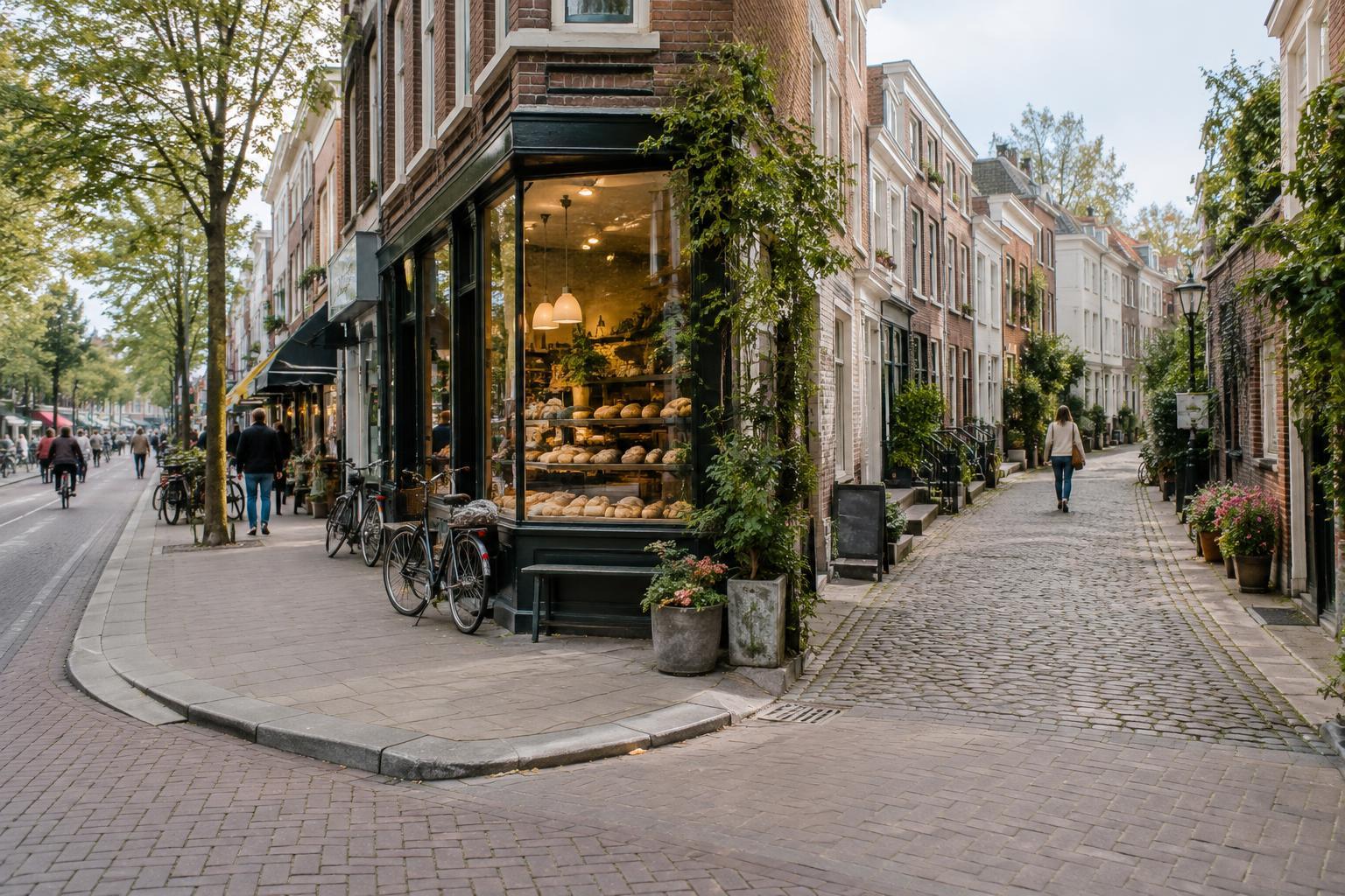
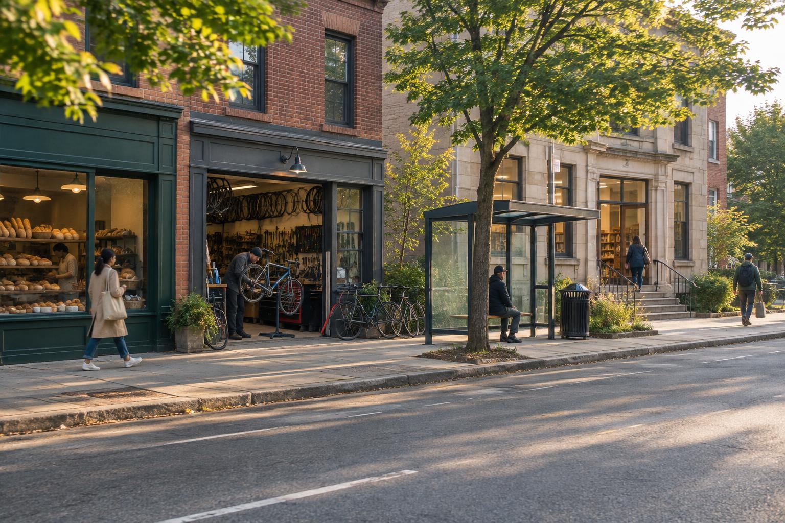
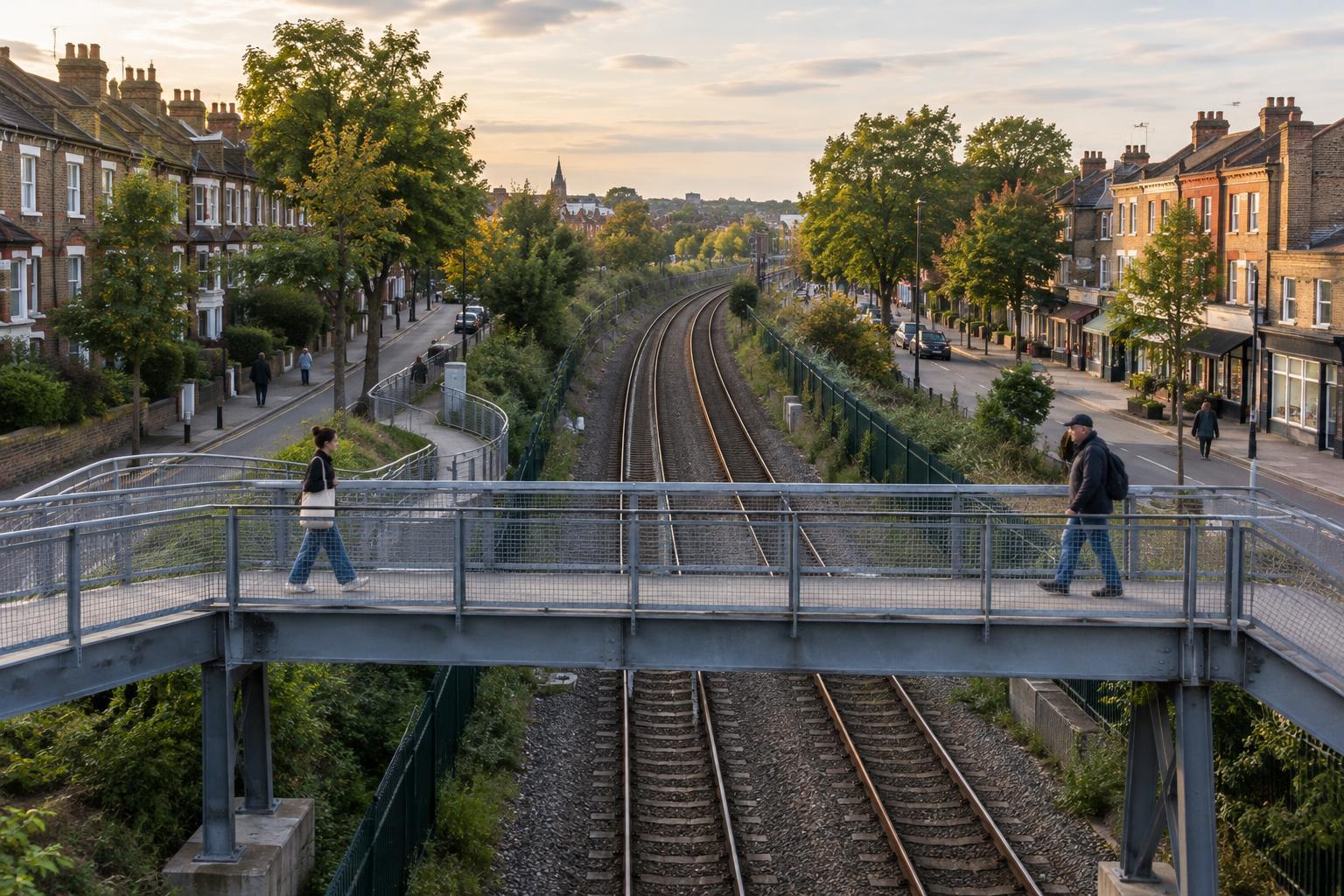
The most interesting part of a neighborhood walk may be the place where one name gives way to another. Main roads and rail lines can feel like strong divisions, but they do not always stop everyday life from crossing them. A bakery may draw customers from both sides; a park may be a meeting place for several areas. Conversely, two streets that look continuous on a map may feel distinct because of changes in buildings, traffic or public space.
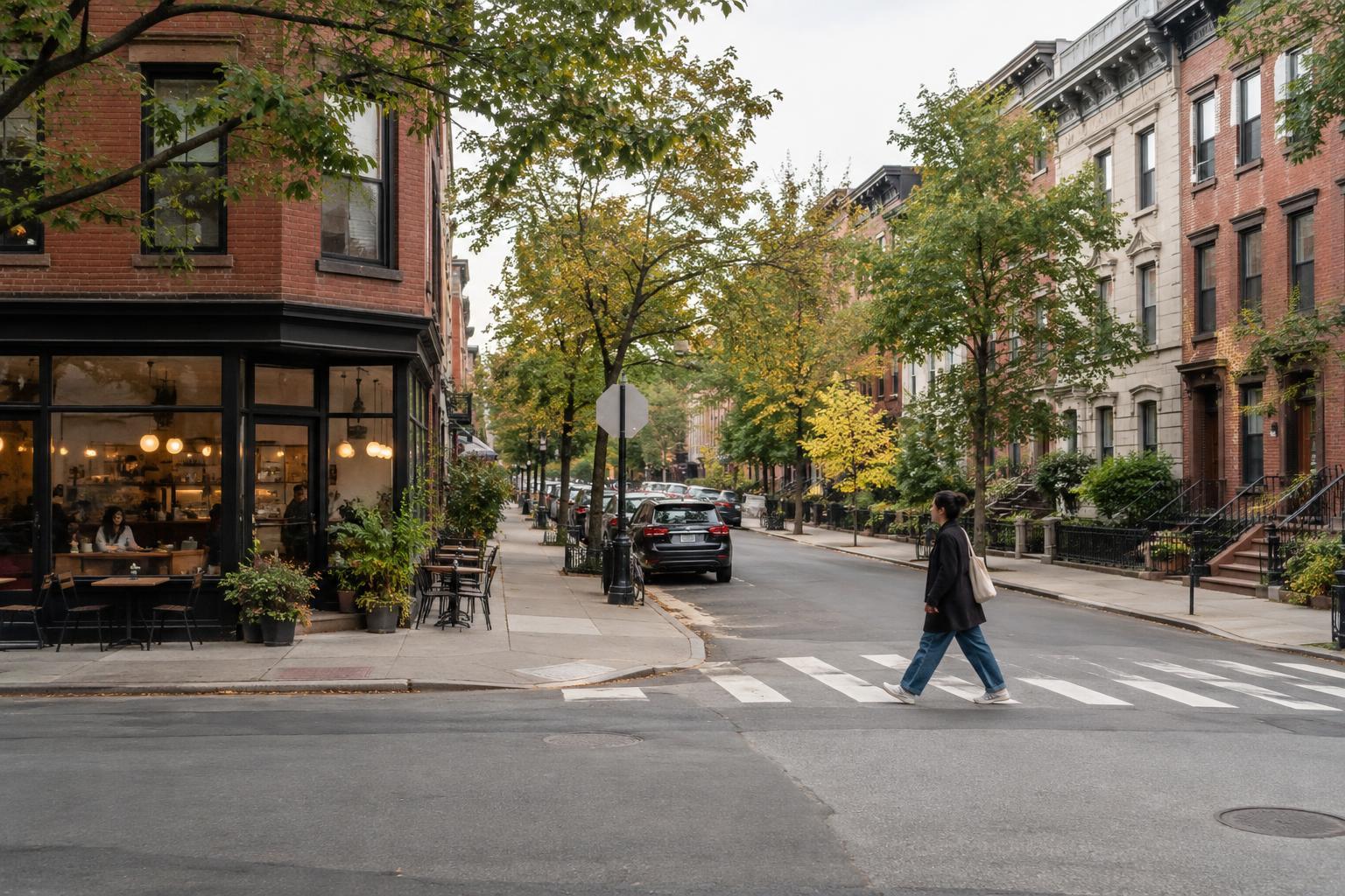
To read these seams, slow down and pay attention to ordinary details. Notice where shopfronts turn into homes, where a street layout changes, and which landmarks appear on local signs. These observations will not reveal a definitive border. They can, however, help you understand why someone might describe the same corner as the edge of one neighborhood or the beginning of another.
Use maps without letting them speak for everyone
A good approach is to compare a few kinds of evidence. Start with a general map to orient yourself. If available, look at a local history display, a library collection or public planning information for other uses of the name. Then listen to how people describe the area in everyday settings. You do not need to interrogate strangers: casual references on noticeboards, shop signs and event posters can reveal which names are in active use.
Be careful with conclusions drawn from a short visit. A name printed prominently for visitors may be convenient but not widely used by residents. Equally, one person's account may be deeply informed without representing every generation or street. If you ask someone about a boundary, an open question—“What do people around here call this area?”—leaves room for more than a yes-or-no answer. Accept that “it depends” may be the most accurate response.
Travel with a flexible sense of place
For a curious visitor, fuzzy boundaries are not a problem to solve. They are an invitation to look beyond the most photographed center and notice how places connect. Plan a walk that moves across a supposed edge rather than stopping at it. Leave time for a small museum, a public square or an ordinary shopping street. Follow public routes, respect private spaces and remember that a neighborhood is someone’s daily environment, not just a theme for a walk.
When you write about or share a place, choose your wording with the same care. “Often called,” “shown on this map as” or “described locally as” can be more accurate than declaring a single fixed border. An official map can help you find your way; local names can help you understand what the map leaves out. Holding both in view makes a neighborhood feel less like a bounded attraction and more like a place shaped by the people who use it.